January Lead Up
 |
| Rainier from Union Bay Loop |
Apryle and I rang in the
new year unpacking our moving truck at our new home in Newcastle, WA. Newcastle
is a small town situated between Bellevue to the north and Renton to the south
and is bookended by Lake Washington to the west and Cougar Mountain Regional
Park to the east. Shortly after hauling all of our belongings up the stairs a
snow storm blanketed the ground. This made us feel right at home after leaving
Tonasket’s stark winter landscape.
 |
| American Wigeon |
The first two weeks of the
2017 have been quite productive on the trail running side of life. With Cougar
Mountain less than a kilometer from my back door; I have been taking full
advantage of our new location. Most of my training has consisted of out and
backs to Wilderness Peak. This offers between 1600-2000 vertical feet over
about 10 miles. However, because of the snow storm and cool temperatures, I had
to continue utilizing the yactracks on the ice; inevitably slowing my pace.
 |
| Sycamore from the Window |
In order to combat the
slow paces on the icy/undulating trails, I have continued running at the
University District. This offers a fast mix of cinder trails around Union Bay
and the Arboretum, as well as sidewalks and a series of floating boardwalks
between Marsh and Foster Islands.
 |
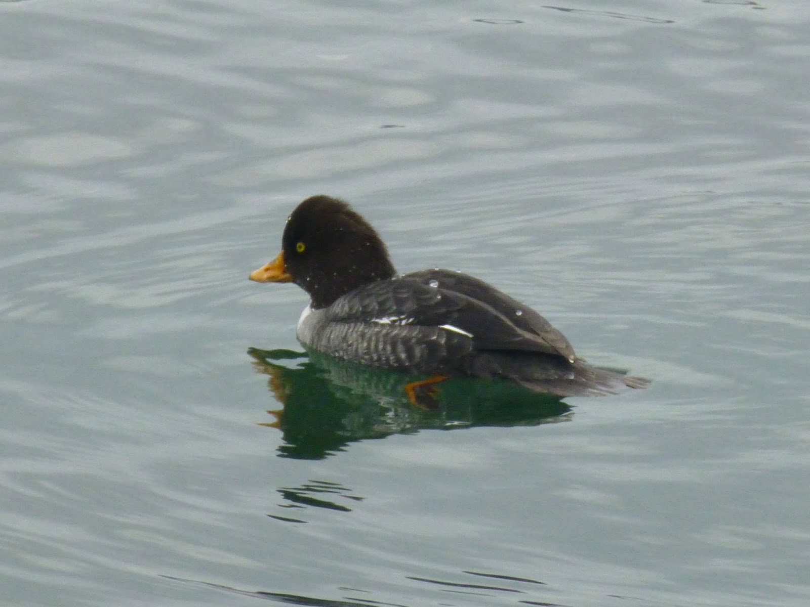
| Barrows Goldeneye |
In addition to the
increased mileage, I have also been raising the bar in my birding exploits.
With the frequent runs around Union Bay I have added 13 new birds to my life
list. I hope to continue the ambitious pace throughout the year.
The Race
 |
| Ring-tailed Duck |
Last year I signed up for
the Bridle Trails 50K rather last minute, mainly because I had run at the state
park a few days earlier and knew it was close to our residence in Shoreline. This
year was similar, I was reluctant to sign up for the race because I did not
think my fitness level was quite on par with last years 3:25 effort. But on the
final day before registration closed Apryle convinced me to give it a shot, and
if nothing else get in a quick long run.
 |
| Horned Grebe |
So I tapered down
slightly, taking Thursday off and going short on Friday to save the legs for
the long effort. I calculated my splits and decided that I would once again aim
for the stout course record of 3:19:40. Because the race consists of 6 laps of
5.2 miles, it was quite easy to strategize. Additionally, because there are 5
and 10 mile races at the start, I knew I would have some built in pacers for
the first two laps.
 |
| Barrows Goldeneye |
My goal was to run the
first two laps as quickly as possible (within reason for 50 kilometers), trying
to use adrenaline and my competitive nature to bank away some time early. Then
run three and four quickly enough to beat the setting sun. Then try my best to
hold an even tempo in the dark for the final two laps.
 |
| Common Goldeneye |
Apryle set up in the same
position she had the previous year to crew (last hill before start/finish),
which was invaluable to my strategy. This allowed me to grab a swig of water
and a gel pack without stopping. I knew based on my experience last year that I
would not need the headlamp until lap 5 and that it was cool enough that I did
not need to carry water. Both of these predictions held true and the race went
off without a hitch.
 |
| Yessler Swamp |
I was very happy with my
first three or four laps, but once again, along with the setting sun, went my
motivation. At the start of the race I am full of adrenaline, trying my best to
keep up with the 5/10 mile racers, then in the next two laps I am just excited
to be in one of the most beautiful urban forests in the Puget Sound area, doing
what I love – trail running. But once the sun sets, I am ready to get in the
car, head home and relax in the hot tub – not stumble around a cold, dark,
lonely corridor in the woods.
 |
| Coal Creek |
Coming through the
start/finish into my final lap, I knew it would be faster than my time from the
previous year, but probably not a course record. I told Apryle I would see her
when the clock turned over 3:23 and disappeared into back into the abyss. I
tried my best to push it but just could not find it in me to pick up the pace.
I grunted up the final uphill and sprinted the last downhill and crossed the
line in a time of 3:22:30; good enough for a win but not a course record.
 |
| Evans Creek Park in Sammanish |
Overall I was quite happy,
the time was faster than last year and it also felt a little easier. The race
was a great confidence boost going into an ambitious 2017 consisting of
Chuckanut 50K in March, Lake Sonoma 50 miler in April, and the Rut 50K in
September. Additionally, I may also add in a few others such as Smith Rock
Ascent 50K and White River 50 miler as well as the Wonderland Trail and a Mount
Rainier ascent.
Race Splits:
Lap 1 31:04
Lap 2 31:48
Lap 3 32:49
Lap 4 34:52
Lap 5 35:45
Lap 6 36:10
Lead Up Running Log:
|
Day
|
Date
|
Miles
|
Time
|
Vertical
Gain
|
|
Sunday
|
01/01/17
|
10.11
|
1:10:25
|
459
|
|
Monday
|
01/02/17
|
14.3
|
2:27:25
|
2795
|
|
Tuesday
|
01/03/17
|
13.16
|
2:00:19
|
2625
|
|
Wednesday
|
01/04/17
|
10.1
|
1:13:10
|
413
|
|
Thursday
|
01/05/17
|
10.11
|
1:07:58
|
568
|
|
Thursday
|
01/05/17
|
4.05
|
38:53:00
|
131
|
|
Friday
|
01/06/17
|
10.61
|
1:31:30
|
1755
|
|
Saturday
|
01/07/17
|
10.53
|
1:27:33
|
1677
|
|
Week 1
|
7 Days
|
82.97
|
49:51:20
|
10423
|
|
Sunday
|
01/08/17
|
4.57
|
0:49:32
|
410
|
|
Sunday
|
01/08/17
|
10.2
|
1:45:22
|
1683
|
|
Monday
|
01/09/17
|
10.11
|
1:30:02
|
1749
|
|
Monday
|
01/09/17
|
6.01
|
1:03:08
|
436
|
|
Tuesday
|
01/10/17
|
10.01
|
1:11:57
|
515
|
|
Wednesday
|
01/11/17
|
5.8
|
0:59:39
|
295
|
|
Wednesday
|
01/11/17
|
4.31
|
0:28:01
|
125
|
|
Thursday
|
01/12/17
|
1.25
|
0:27:25
|
404
|
|
Friday
|
01/13/17
|
6.01
|
0:41:17
|
200
|
|
Friday
|
01/13/17
|
0.38
|
0:07:23
|
7
|
|
Saturday
|
01/14/17
|
31.25
|
3:22:30
|
2323
|
|
Week 2
|
6 Days
|
89.9
|
112:08:56
|
8147
|