Showing posts with label Colorado. Show all posts

Thursday, January 14, 2016

A Quick 2200 Mile Road Trip to the Northwest


Apryle at Palo Duro Canyon
We hit the road at three in the morning with the Versa packed to full capacity. We drove the whole day until we reached Palo Duro Canyon State Park and decided to go for a easy ten miler. It was a cold day in the northern panhandle and the demoralizing freezing rain was turning the red clay trail to a potters paradise. 


Palo Duro Canyon
The Givens/Spicer/Lowry Loop did not disappoint and Apryle and I were enamored of the beauty of this state park. Palo Duro was one last gem that Texas had to offer before we parted ways for the land of enchantment.


Apryle Running in Arches NP

We experienced some icy road conditions from Amarillo all the way to Santa Fe, and because we could not find a place to stay, we drove through the night to Pagosa Springs, Colorado. We stopped in for some baked goods and continued on for Durango. 


Arches NP

Upon arrival the snow began swirling down from the sky covering the town in about eight inches of fresh powder. We went for a run along the Animas River and held up in small hotel for the evening. We then made an attempt to visit the cave dwellings at Mesa Verde but the conditions made the roads impassible. 


Admiring the Arch

Therefore we made our way for Arches National Park in Utah. The drive from Durango to the Utah boarder was precarious, and the road conditions did not improve until we reached the outskirts of Moab. We decided to run some trails in Arches and were rewarded with the beautiful contrasting reds and oranges of the arches capped with a fresh white snow and dotted with green juniper. After a few hours of exploring we made our way to Salt Lake City and turned in for the night before continuing our journey to Seattle.


Apryle & I at Arches

After one last dangerous drive across the icy roads of Idaho and Oregon we made it to Seattle safe and sound. We unloaded the Versa and started prepping for our winter field season in Republic, WA in just a few days. 


Stay tuned for the next installment of the four part journey outlining the transition from life in Texas to life in Washington. Apryle will highlight the 2015 winter field season in Republic.

Sunday, June 14, 2015

The Black Hills

Wyoming Sunrise
It was Saturday afternoon when I was sitting in McClaren Hall skyping with parents when I realized that I should probably go for a long road trip since I had Monday off. I had been living in Estes Park for a month and a half and had not really explored much of the area outside the eastern fringe of Rocky Mountain National Park. But I realized that my exploration of the high mountains would have to wait another couple of months until the conditions permitted easy passage. So I set my sights on Wyoming and debated going to the Tetons & Yellowstone or heading to South Dakota to tour the Black Hills. 


Wyoming Countryside
After some debate, I thought it best to leave the Tetons and Yellowstone for an occasion when I had more time to explore so the Black Hills it was. After a restless nights sleep I hit the road at around 4:30am and drove through the highway 34 canyon until I hit 25 and headed north. I caught a beautiful sunrise in Cheyenne and found the desolate driving across Wyoming to be very peaceful. I got off the main drag and took US 26 to WYM 270 and I found this terrain to be a pleasantly monotonous trudge. Growing up in Ohio there were cornfields, bean fields and wheat fields as far as the eye could see but Wyoming had a whole new landscape of repetitiveness to offer and enjoyed immersing myself loneliness of the vast expanse of treeless plane. 

Antelope
To my right and left were infinite plots of sage brush with a dusting of white powder and the occasional pack of antelope.  I made a hard right turn in Manville onto US 18/20 then started north on 85 before veering east once again onto US 18 which brought me across the boarder into South Dakota.


Wind Cave NP
There was a interesting shift in landscape and though I new little of the Black Hills, I assumed I had entered them based on my surroundings. I made one final turn onto 385 and headed into Wind Cave National Park. I parked near the main entrance, signed up for a cave tour later in the afternoon and hit the trails. I first headed out on the Wind Cave Canyon Trail and was intrigued by the great diversity of landscape. When I started the run, I was on a grassy plane but that quickly gave way to gentle rolling hills with a scattering of Ponderosa Pines. I quickly entered a canyon that was short in stature, but rich in color and diversity of flora. 

Canyon Trail
The craggy rock faces were painted in burnt orange and brick red hues and Ponderosa saplings clung to whatever soil they could find on the surface. I could tell that bison had taken this trail earlier in the day, for obvious reasons, however, I did not spot my first Bison until I did some running off trail. After reaching a dead end on the trail I back tracked and headed up the Highland Creek Trail and decided to veer off trail and run up a slight ravine, and after reaching the top I spotted an enormous bison and quickly turned and headed back down to the trail. 


In Wind Cave
It was a perfect day, the sun was shining, the temperature was a mild 50 degrees and the wind was howling and whipping across the planes at speeds that I had never before felt in such idealistic conditions. After getting in part one of my three a day, I started the boxwork cave tour. The cave is quite impressive, as it is one of the longest and most complex networks of mazes in the world. It is estimated that the cave is approximately 195 kilometers when each of its offshoots is totaled. The tour that I took highlighted the boxwork formations in the cave, which Wind Cave is thought to have the most well-formed of these formations in the world. 

View from the Lookout
After roaming around below the surface for a few hours, I made my way back above ground to explore the northern stretches of the park. I ran the short trail to the Lookout Tower that sits 5013 feet above sea level and enjoyed the panoramic views of the Black Hills, even catching a glimpse of my next destination, The Badlands.


Bison
Once more I hopped into the car and traveled north into Custer State Park, along the way passing several bison heard numbering between 15 and 20. They appeared to be of similar size to my Nissan Versa and were quite intimidating creatures even from the safety of my car. Since I was in the area and it was presidents day weekend, I thought I would head to Mount Rushmore. Though it was probably the least interesting sight of my road trip and probably hold Crazy Horse and his monument in much higher esteem, I’m glad I got the chance to see it. 


Mt Rushmore
I was able to snap some photographs and get in a few more miles before the sunset on day one of my second winter road trip of 2013. I stayed the night in Rapid City and departed in the early morning for Badlands.


Badlands NP
I arrived at the Badlands, wandered around the visitors center and then started out on the road to peer out over some of the most interesting rock formations in the United States. I do not believe that I saw more than three other cars the entire day… I had the park to myself. Rightfully so, I suppose, it had to have been about 25-30 degrees with a frigid wind chill. If the trip had one theme it was loneliness and isolation. As an only child and self-proclaimed loner, this feeling of isolation only added to unique experience of the trip. 

Badlands
The Badlands offered the most hauntingly beautiful landscape I had ever seen and since laid eyes upon. The conditions of the trip were so ideal that I am reluctant to ever return for fear that my memory of the sacredness of the place will forever be tarnished. As much as I dislike driving in a national park, when I have the option to run instead, it was a beautiful drive that was carved through the landscape. At the end of the paved road I decided to try my luck taking the dusty dirt Sage Creek Road. 


Ewe
I vividly recall travelling slowly over the washboard road, blasting the radio and passing heard of both Big Horn Sheep and Bison. I believe the ewes seemed kind fond of the Who’s Baba ‘O riley as I passed, but this is purely speculation.


Yellow Mounds
Badlands
Badlands
Badlands

 Badlands

Badlands

Big Horn Sheep


Chimney Rock
After making it off the dirt road without a punctured tire, I hit Bigfoot Trail (27) which took me through the Pine Ridge Reservation and by the tragic sight of Wounded Knee. I then decided to head south through Nebraska on 87, on my way back to Estes Park. I continued to debate making a side trip to the mecca of Chadron, Nebraska, former home town of Baldwin Wallace cross country & track coaching legend William Taraschke who has retired this year after 31 years of coaching (Perhaps for the most astute readers, you may discover a link between the title of my blog the preceding sentences). 


Nebraska Landscape
But I decided that I would save this for another occasion. At any rate I continued to head south and visit Chimney Rock National Historic Site, this may hold some meaning to those interested in the history of the Oregon Trail. After running a few miles around ranch land surrounding this auspicious spire that was such an important landmark, I took to the back roads once again on my quest to return to my home to resume my duties in the RMNP greenhouse. As with most of my trips it was short lived, but full of memories, even 28 months later, I can still vividly recall the sights, sounds and the feelings that the journey to the Black Hills evoked.

Friday, January 30, 2015

Top Ten Personal Favorite Routes

Tiffin Route Starting Point

Inclusion criteria: Route must have been run on a weekly basis for at least one month

Honorable Mention:

Deer Mountain Out & Back, Estes Park, CO. This was a favorite route while living in Estes Park, that I did throughout both the winter and the summer. I would run up Trail Ridge Road to the Deer Mountain Trailhead and then hop on the trail and ascend to the top and then head back down.


Trail near Onion Creek Austin
West Oaks Out & Back, Austin, TX. This out back consists of a run down Escarpment Boulevard, a quick jog down Davis Lane, a sudden veer to the left following the West Oak Trail. Then a cross over Beckett Road into Dick Nichols Park, followed by a short trail run up to Convict Hill Road. Then one last push down Woodcreek Road to William Cannon and back.


Tiffin Carnival/Hedges/Coe Road Loop. Tiffin, OH. This is a classic Tiffin run consisting of a run east on 16, followed by a turn north on 17/15. Followed by a westward turn onto Coe Road and an eventual run of the Tiffin Carnival cross country course. After the running of the course, jump back on Coe Road to Spayth Street and then travel over to State Route 100. Take 100 to Township Road 151 and take a final turn west down County Road 16.
Looking West down 151 Tiffin

Boogie with Stu. Tiffin, OH. These two runs are Tiffin Calvert cross country originals.
  • Start from Coach Behm’s house on Ranchwood and turn east onto Old Attica Road until it T bones  with Route 224 then turn back (5K)
  • Start from Heidelberg Track and run across Main Street down to “Hidden Valley”. Run around the practice fields, through the woods behind the YMCA, which empties in Hedges Boyer Park.


River Road/34/Sandusky River Out & Back, Tiffin, OH. This route is a favorite of mine starting from either Calvert High school or Columbian’s track. The start is somewhat undulating for Tiffin, and the scenic Sandusky River is in view for nearly the entirety of the route. I typically turn around somewhere near the canoe livery.

Golf Course Run, Tiffin, OH. Keep this one on the down-low; A favorite early, early morning run from the house following each hole at Mohawk.

Beaver Meadows; RMNP
10.  RMNP Loop (Through Park housing, up High Drive and around Beaver Meadows, into Moraine Park, then across Bear Lake Road. Then behind the visitors center, along Eagle Cliff, back to Park housing). Estes Park, CO. This run follows some winding trails in Upper Beaver Meadows, eventually reaching a wooded section of Ponderosa Pines (where I had my first face-to-face encounter with a black bear), then a steep section of trail skirting along Eagle Cliff Mountain. Finally, the trail passes RMNP’s “bone yard”, and winds up back at park housing.


9. Estes Park Downtown Out & Back (South down 36, around lake), Estes Park, CO. This was the first route that I did upon first moving to Estes Park. For much of the winter I would run into downtown Estes Park, and loop around the 3.7 mile trail at Lake Estes a few times and head back to my apartment on Sundance Circle.

Homestead at McKinney Falls
8. McKinney Falls Loop/Out & Back. Austin TX. I ran this route for my first run upon moving to Austin. It consisted of a jog from Will & G’s house across William Cannon into McKinney Falls State Park. Then I followed the trail along Onion Creek until I reached the interpretive trail that emptied out near the Lower Falls. I jumped from Rock out cropping to rock out cropping over the falls to a network of looped trails around the old homestead and grist mill. For a longer run I would add a loop of the asphalt trail before heading back. Additionally, I would run along McKinney Parkway in the evenings to tack on some more miles.

Trail near Slaughter Creek

7. Slaughter Creek/1826 Loop/Out & Back. Austin, TX. I have run this out & back loop more than any other in Austin thus far. It consists of a run down Dalgreen Avenue, a turn at La Crosse, followed by a turn onto the Austral Loop, and finally a merge onto the trail by the catch basin. Once on the trail I head under Mopac taking a trail that skirts along Lady Bird Johnson Wildflower Center. I turn back, head under Mopac then take the gravel trail, go under Esparpment into Circle C Metroparks. Then I take a trail along Slaughter Lane to 1826 and continue to follow the trail to the Slaugther Creek Preserve Trail. Finally, I Loop the trail and head back.


Turquoise Lake, Leadville
6. Leadville & Turquoise Lake Out & Back. Leadville, CO. This route is run by a couple thousand people each August. A route that needs no description… Basically I started from Mountain Peaks Motel and ran down 6th street to The Boulevard then up the small power line hill, over to Turquoise Lake, along the lake to May Queen and back.


5. Tiffin Town/Country Loop. Tiffin, OH. I have probably run this route or a variation of it more times than any other route listed combined. Basically from County Road 16, I travel up 151/100 (Melmore St) into Tiffin, from there I either ran to Calvert, Columbian, or Molyets, then back down either 231 (Washington St) or 19 (Sycamore St), then back east on 16.

Coe Lake, Berea
4. South into Millstream Run Reservation Bridal Trail. Berea, OH. From the old homestead on East Grand Street, I run past Coe Lake into the metroparks, then past Wallace Lake (800m repeat course) and beyond. The five mile mark is Challet but for longer runs I would travel to Strongsville or North Royalton. This was a classic long run route in Baldwin Wallace cross country days.


Gem Lake, RMNP
3. Gem Lake/McGregor Falls Out & Back. Estes Park, CO. Probably my favorite route in Estes Park, this consisted of a run from Park housing across 36 along Riverside Drive, back on 36 in the down town, then a turn onto MacGregor Avenue. Followed by a eastward turn onto Devils Gulch Road. Then to the Lumpy Ridge Trail Head. From here I either did a 1.7 mile trudge up to Gem Lake or a rolling 2.5 miler to McGregor Falls and back. This could also turn into a run out to MacGregor Ranch followed by a run along the Cow Creek Trail. There are plenty of options and a vast trail network in this northeast section of RMNP. Additionally, Lumpy Ridge is full of scenic cascades and impressive rock formations.

Rocky River, Berea
2. North into Rocky River Reservation Bridal Trail. Berea, OH. During my four year stint at Baldwin Wallace College, this route was my bread and butter. As with many other routes on my list, this was the first route I did upon moving to Berea. From the house on East Grand, I headed down Front Street to Bagley Road. Then I hit the all purpose trail that parallels the road, I jumped off the all purpose trail onto the softer Bridal Trail. From here the Bridal Trail winds along Rocky River, through the scenic reservation. As a bonus sidetrack I used to head up a steep hill about 4 miles into this route and was rewarded with spectacular views of the towering bluffs carved by Rocky River. For most runs, I turned back near the nature center, but for long runs I would take the trail all the way to Lake Erie.


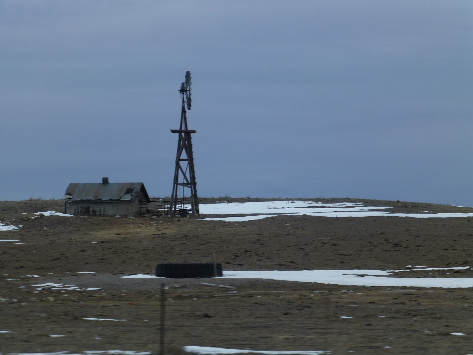
Sandusky River from 131
1. Eden Township Sandusky River Loop (Start heading east on county road 16, turn south down township road 151, turn west on county road 6, turn south on township road 19, turn west on township road 28, head south on trail 0028, turn west onto township road 131, turn east onto county road 6, turn north onto township road 58, turn north onto township 19, then head east on county road 16). Tiffin, OH. I have lived and ran in many places and have seen some amazing views. However, it is hard to top the memories and emotions evoked by this particular route. This route will always hold a special place in heart. Starting back in the latter high school years I began doing long runs out on the old country roads near my house. I discovered the old St John’s Hollow Concert venue, the tranquility of the Sandusky River, and the only hills in Seneca County. Additionally, I discovered a new Sunday morning tradition with my father. For most every long run that I do in Tiffin dad pulls the old bike out of the shed, pumps up the tires, duct tapes his jeans so they don’t get caught in the chain and we hit the road for an eighteen mile journey through the best roads Eden Township has to offer. This has been a long running tradition that has continued right up until this year and I do not expect it to stop anytime soon. It never ceases to amaze me that dad hops on the bike for the first time in months and easily covers the distance. At any rate, this long run has always been a great time to discuss life, love, stress and setbacks. This route will always epitomize to me, why I find purpose in running and for that matter family and friends.
Running down Trail 0028